Your passion for flying is matched by our commitment to your protection.
Our Gold Members are insured whether they're flying for fun, helping a neighbour with a roof survey, selling aerial photos online, or turning their drone hobby into a side hustle with paid gigs.
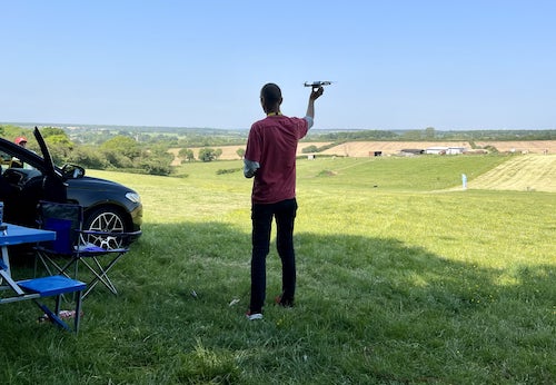
Whether you're an experienced pilot or just starting out, our insurance cover ensures you can focus on what you love the most - flying!