Your passion for flying is matched only by our commitment to your protection.
Our insured members are covered by a £5m Public Liability Insurance policy.
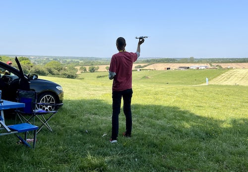
Whether you are an experienced pilot or just starting your aerial journey, our insurance coverage ensures that you can fly worry-free, knowing you're protected from potential legal and financial claims.